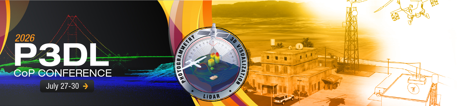
The Photogrammetry, 3D Visualization, and Lidar (P3DL) Community of Practice Conference will take place 27-30 July 2026. This is a joint conference between Photogrammetry and 3D Visualization CoP and the Lidar/3D CoP. This year’s theme is “Operational Impact through Innovation: P3DL Driven Solutions for Emerging Challenges.”
The goal of the conference is to drive collaborative innovation that answers current and emerging DOW, DHS, DOJ, and Intelligence Community (IC) needs as well as explore capabilities for precise geopositioning/targeting, precision mensuration, 3D visualization, lidar, and 3D data related technologies. Attendees from across the U.S. government, academia, and industry are invited to collaborate on innovations in sensor advancement, algorithm development, and tradecraft. We strive to create an environment where participants can discuss successes and challenges, and exchange ideas on future endeavors.
This year’s event will be at NGA Washington in Springfield, VA and available virtually. The conference will also feature an in-person Technology Expo on Monday, 27 July and Tuesday, 28 July, and is open to all conference attendees and NGA personnel. Industry partners are encouraged to showcase their latest technologies and innovations that complement the topics discussed throughout the conference.
P3DL Presentations and Tech Expo Technologies of Interest include:
Photogrammetry
- AI Photogrammetry Solutions
- Close-Range Photogrammetry
- Sensor Modeling for Raster and 3D Data
- Photogrammetric Mensuration (relative and absolute)
- Photogrammetric Implications for AI/CV
- Photogrammetry Derived Terrain Modeling/Stereo Extraction
- Photogrammetrically Derived CAD modeling
- TCM (Target Coordinate Mensuration)
Lidar
- AI 3D Solutions
- 3D and Lidar Exploitation Tools
- 3D Mesh
- 3D Point Cloud Resolution/Accuracy/Nighttime Signatures
- 3D Targeting/BDA
- Digital Twin
- Sensors/Technology
- Novel Applications
- Lidar Collection
- Space based Lidar
- Spaceborne Instrumentation
- Volumetric Change Detection
- Compact Lidar Systems
- Flash Lidar
- Airborne Lidar System Design
- UAV/Sensors
- Solid State Lidar Technology
- Remote Sensing Instrumentation
3D Visualization
- AI 3D Visualization Solutions
- 3D Automation Techniques
- 3D Visualization Support Products
- Hardware Rendering/Game Engine Advancements/Unreal Engine
- 3D Animation and Video Production Techniques
- Storytelling and Intelligence Conveyance through 3D Animation
- 3D Asset Management – Acquisition, Development, Archiving
- 3D Point Cloud Phenomenology
- Imaging Sensors
- 3D Mapping
- Laser Light Beam
- Electronic Light Tables
- Indoor Mapping
- Autonomous Vehicles
- Exploitation of Data
- Applied Imagery
- Exploitation of Data
General
- General P3DL related AI Solutions
- Verification and Validation, Assessments, Standards
- Geomatics
- Geolocation/MIG
- Geolocation Applications for Structured Observation Management Data
- Optical Sensors
- Geospatial Intelligence
- Satellites
- Cameras